 |
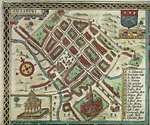
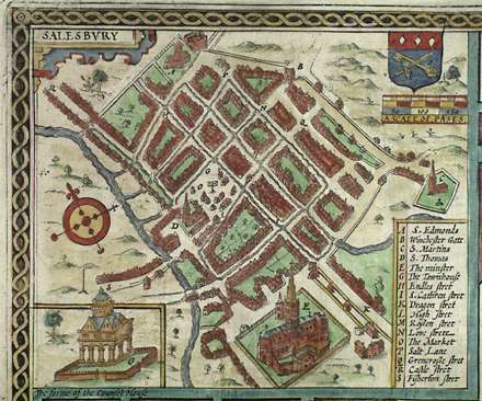
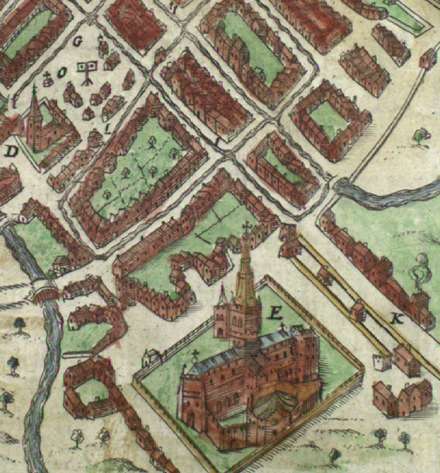
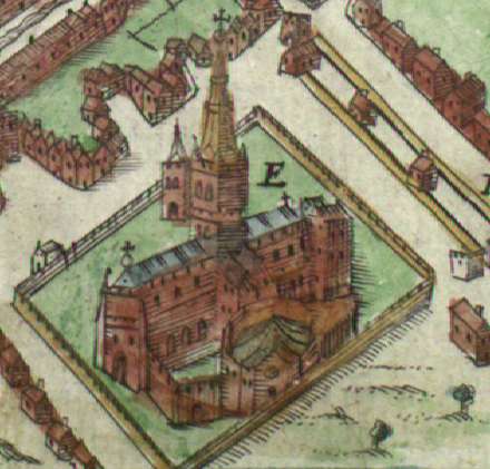
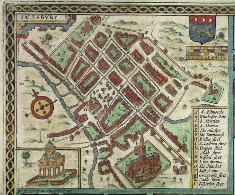
John Speed's MapJohn Speed (1552-1629) was trained as a tailor but his talent for making maps attracted the patronage of Sir Fulke Grevile, first Lord Brooke. In 1611/12 Speed published a volume entitled The Theatre of the Empire of Great Britain which contained 67 maps of England, Scotland, Wales and Ireland. Among these were maps of each of the counties of England which show the courses of rivers and the location of hills and forests. Small insets depict a major town or important site. The map of Wiltshire shows a plan of Salisbury town in the upper left corner and a view of Stonehenge in the upper right. The maps were hand-colored. Larger View of Map (41.4 Kb ) | Detail 1 (41.2 Kb ) | Detail 2 (29.6 Kb ) | High Res Full Version (103.5 Kb ) | |
 |
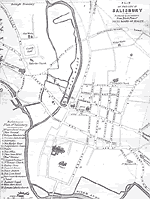
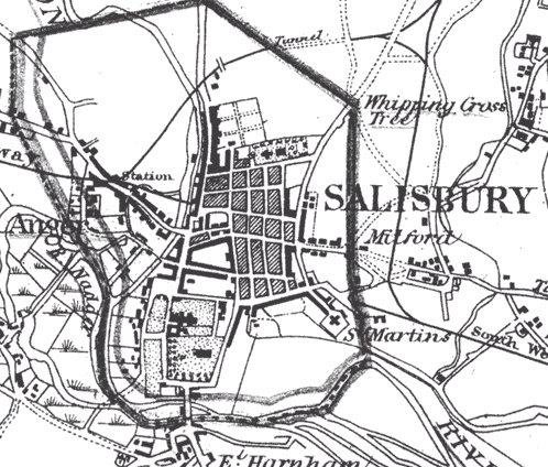
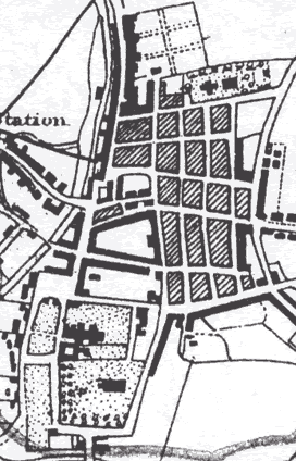
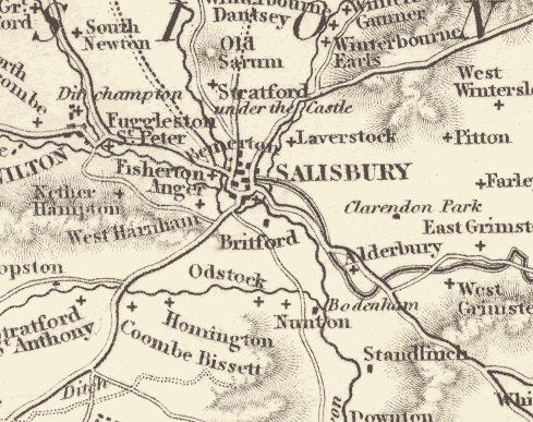
1868 Map of SalisburyUsed with Permission of the Wiltshire County Council Salisbury Divisional Library Larger View of Map (36.7 Kb ) | Detail 1 (41.4 Kb ) | Detail 2 (24.6 Kb ) | High Res Full Version (101.2 Kb ) | |
 |
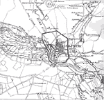
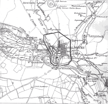
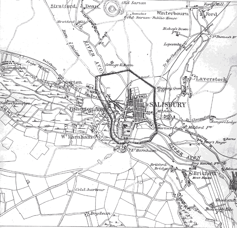
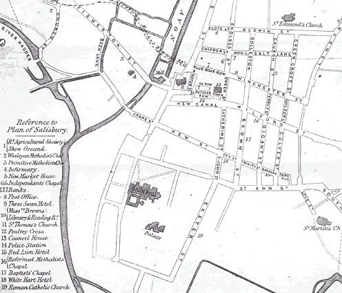
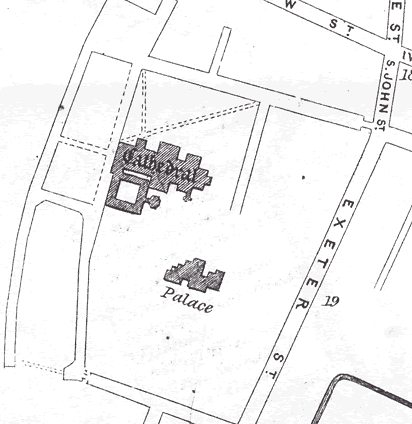
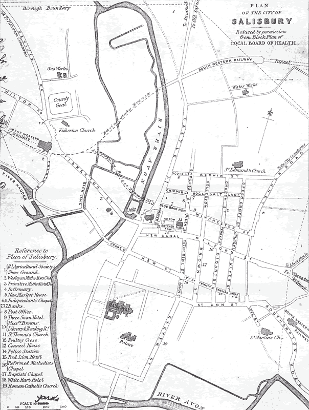
1857 Map of SalisburyUsed with Permission of the Wiltshire County Council Salisbury Divisional Library Larger View of Map (26.2 Kb ) | Detail 1 (36.7 Kb ) | Detail 2 (21.1 Kb ) | High Res Full Version (78.3 Kb ) | |
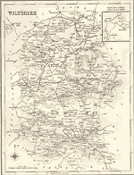 |
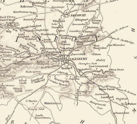
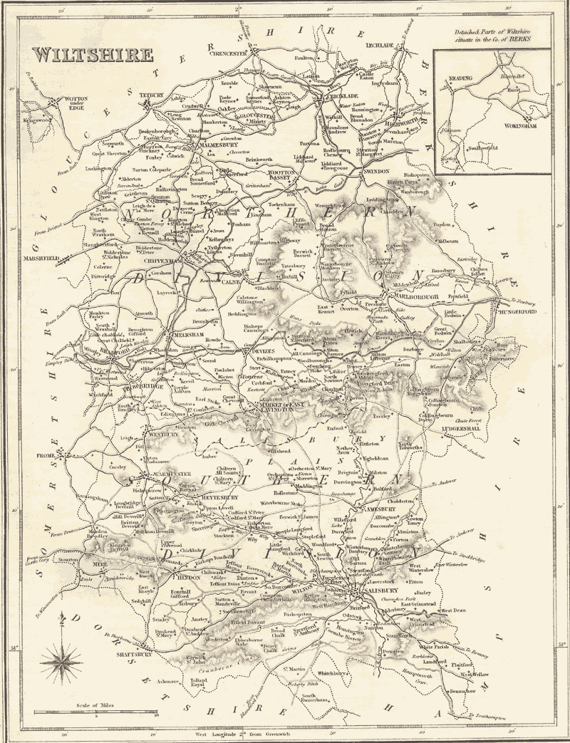
Map of WiltshireTaken from A topographical dictionary of England, Samuel Lewis, London: S. Lewis, 1842. Larger View of Map (30.5 Kb ) | Detail 1 (37.9 Kb ) | Detail 2 (49.2 Kb ) | High Res Full Version (177.0 Kb ) | |


© Marion E. Roberts. All rights reserved.